
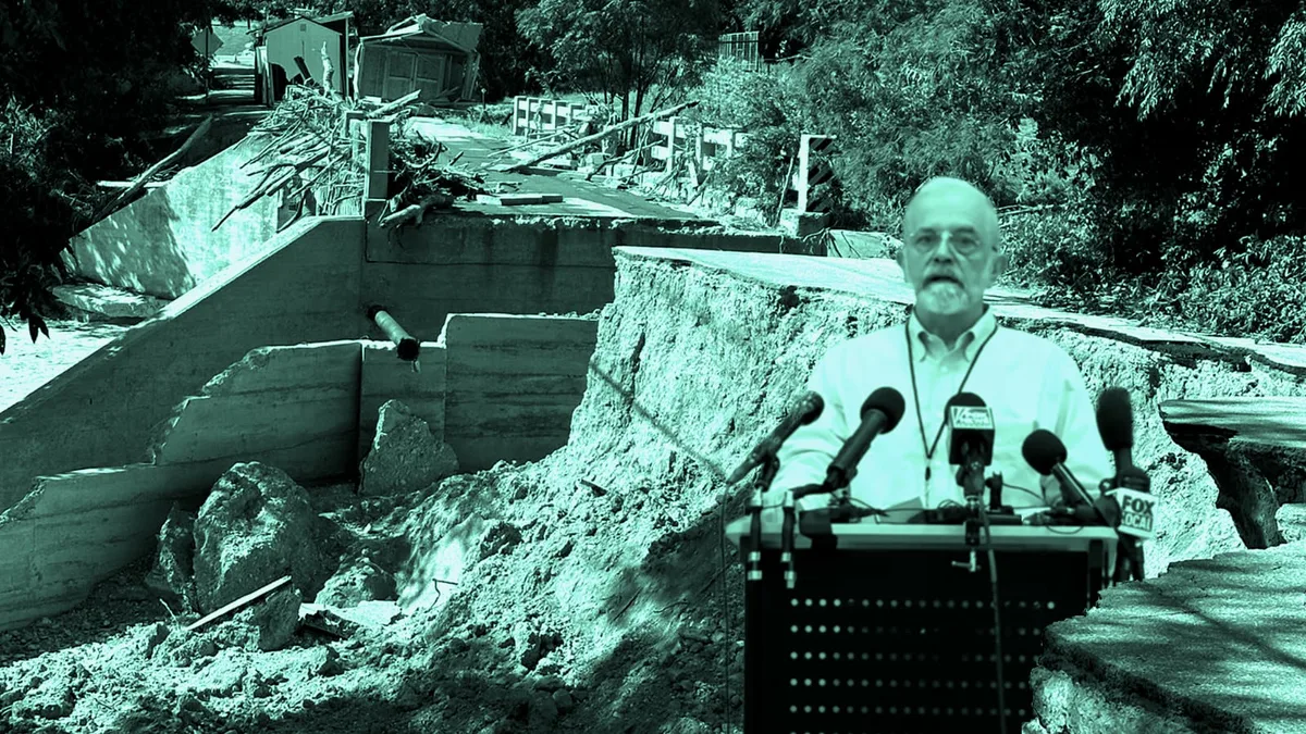
Two flood-destroyed Kerrville sites -- the historic Arcadia Loop bridge and a stretch of Town Creek Road -- each sit within a tenth of a mile of a separate, independently mapped fault carrying more than 500 feet of throw.
KERRVILLE, Texas - As Kerrville area catastrophic flood survivors are sleeping on mattresses in their destroyed homes if they are lucky, and are going into their seventh week awaiting FEMA Disaster approval, two of the flood-destruction sites Mayor Joe Herring Jr. has photographed since the July 15-16 flood sit within a few hundred feet of a mapped geologic fault.
They are two different faults, from the same state structural survey, each one landing almost exactly on a separate site of catastrophic damage.
Comments