
Heavy rain shifts east; Flood Watch stays in effect for Kerr County
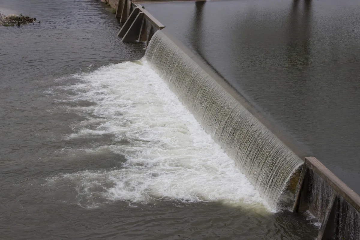
The heaviest rain has moved east of the Hill Country toward the Interstate 35 corridor, the National Weather Service said in a late-morning update Thursday. [Kerr County Lead]
Significant rainfall that had pummeled the Hill Country shifted northeastward Thursday, with meteorologists tracking the system's progression toward the Interstate 35 corridor and areas beyond the Dallas-Fort Worth metroplex.
The National Weather Service indicated in a mid-morning update that precipitation intensified along the I-35 belt, where additional downpours of 1 to 4 inches were anticipated through the evening hours. Some isolated areas in that region could receive as much as 6 inches, forecasters said. Meanwhile, western portions of the Hill Country saw heavy rain activity diminish, with weather models suggesting additional storm development was unlikely in those areas later in the day.
Kerr County residents remained under heightened flood alerts despite the rain's eastward movement. A Flash Flood Warning remained active in the county through 2 p.m., while a Flood Watch extended through 7 p.m. Friday. The National Weather Service lifted flood advisories for Val Verde, Edwards, Real, Kinney and Maverick counties, though Kerr County was not among those removed from the watch list. By mid-morning Thursday, multiple roads in Kerrville were blocked off as water covered roadways and safety concerns mounted.
Authorities emphasized the danger posed by flooded passages, noting that water crossing a road can be both deeper and move faster than appearances suggest. Motorists were urged not to circumvent barricades placed to protect public safety.
The wet pattern is expected to persist through the weekend, with scattered showers and thunderstorms possible each day. However, meteorologists forecast these episodes would lack the intensity of Thursday's system. Hydrologic conditions should see improvement as the week progresses, with the Guadalupe River and various creeks and low-water crossings potentially rising for hours after storms depart.
Looking ahead, conditions stabilize significantly starting Monday. Forecasters predict dry weather through midweek next week, with mostly sunny skies and afternoon temperatures reaching the low 80s.
Coverage from 2 newsrooms
Heavy rain shifts east; Flood Watch stays in effect for Kerr County
Heavy rain has shifted east toward the Interstate 35 corridor, but a Flood Watch remains in effect for Kerr County until Friday evening.
More showers ahead as heavy rain shifts east of DFW
Heavy rain is shifting east of the Dallas-Fort Worth metroplex with additional showers expected Thursday night before conditions improve nex…